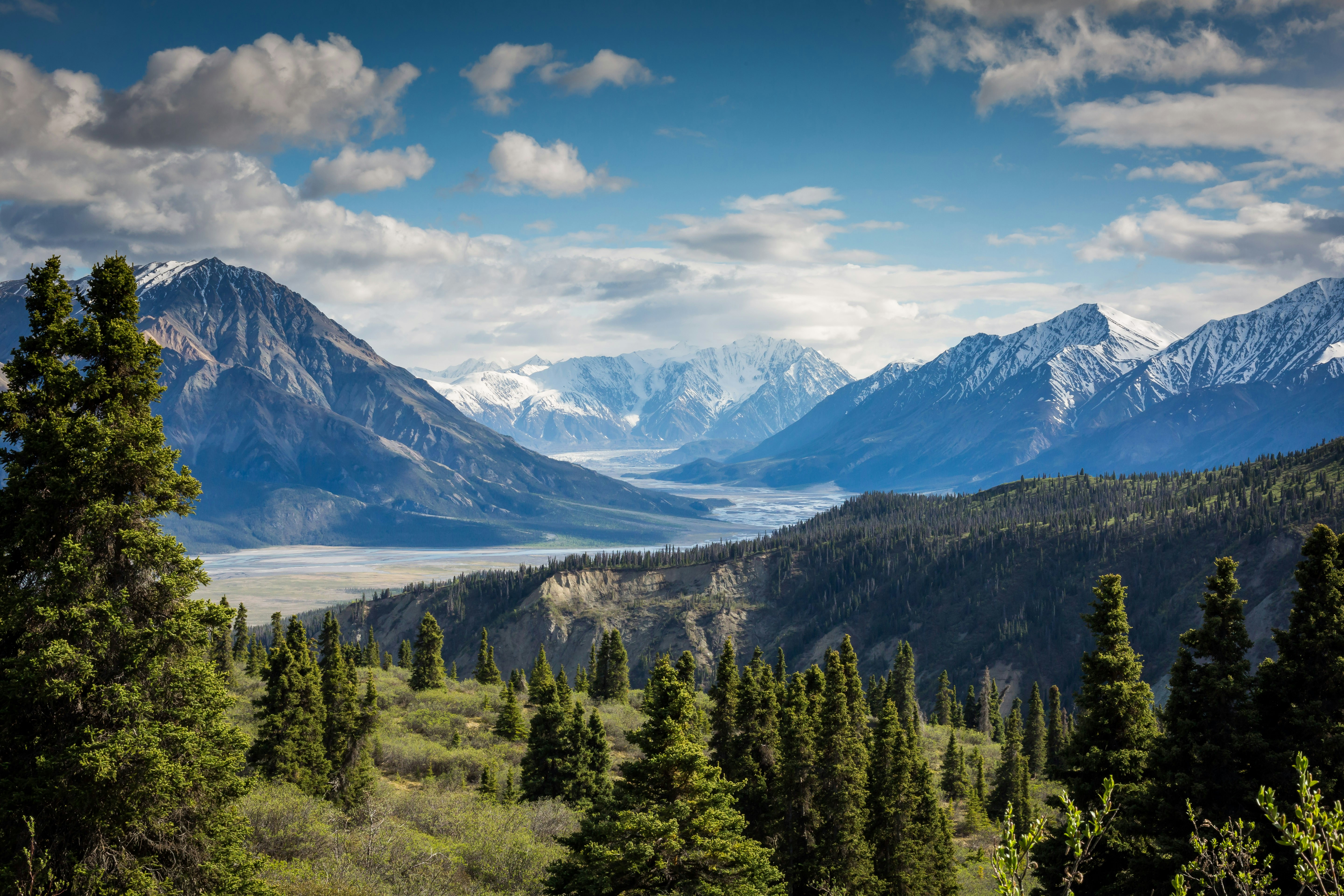
16 Hiking Trails
Best Hikes in Montana
Complete trail guides with maps, elevation profiles, weather forecasts & parking details for every mountain
16 Curated Adventures
Complete trail guides with maps, elevation profiles, weather forecasts & parking details for every mountain
16 Curated Adventures
Fourteen of Montana's sixteen ranked summits sit in one place: the Beartooth Mountains of south-central Montana, inside the Absaroka-Beartooth Wilderness north of the Wyoming line. Granite Peak — about 12,800 feet and Montana's official state high point — anchors the group, and its neighbors Tempest, Mount Peal, Mount Hague, Glacier Peak, Mount Villard, Cairn Mountain and Sylvan Peak all start from trailheads within roughly 6 to 11 miles of it, with Beartooth Mountain and the Spirit Mountain group (Spirit, Rearguard, Metcalf) reaching about 20 miles east. This is high-alpine granite and gneiss country, Archean rock billions of years old, where a dozen summits clear 12,000 feet on a broad plateau rather than a single ridgeline. The other two are named separately rather than implied into that cluster: Crazy Peak (11,178 feet in this database) tops the isolated Crazy Mountains roughly 62 miles northwest of Granite Peak's trailhead, and Mount Cleveland (10,466 feet), the tallest peak in Glacier National Park, sits about 320 miles northwest against the Canadian border, on the far side of the Continental Divide. Granite Peak is a technical, exposed climb for most of its routes, so treat the Beartooth records here as planning references, not easy day hikes. 9 more Montana summits are already queued in the database — these 16 are simply the ones with a confirmed route and elevation profile today.
All 16 summits ranked by elevation
A-Z listing of all peaks in Montana


