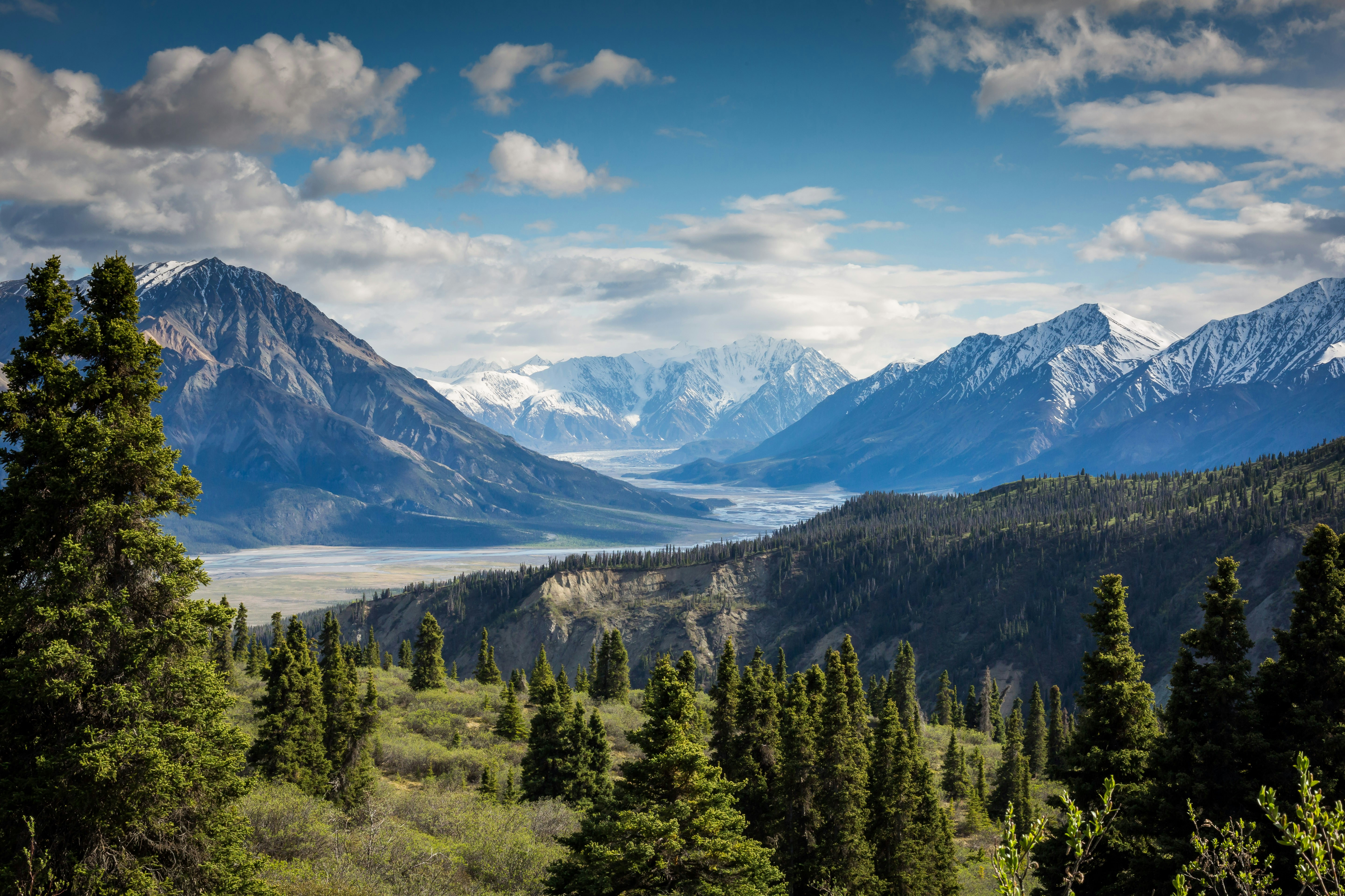
Forested ridgeline hiking trail near Albany New York with autumn foliage
58 Trails Within 100 Miles

Best Hikes Near Albany

58 hiking trails within 100 miles of Albany, from the southern Berkshires to the Catskills' highest peaks

Closest: 24 miles
Drive Time: 32 min - 2 hrs
Difficulty: Easy to Moderate

Albany Sits Where Three Highland Regions Meet

Cross the Massachusetts line east of Albany and the land starts folding into the southern Berkshires within half an hour — the closest real elevation to the city. Push south and you reach the Catskills, with Hunter Mountain and, further in, Slide Mountain — at 4,180 feet the highest point in the range. Head northeast instead and southern Vermont's Green Mountains, including Stratton and Killington, are still within a two-hour drive.

This guide covers all 58 trails within 100 miles of Albany, sorted by actual distance from real trailhead coordinates — not the city center. Each trail includes:

  • Exact distance from Albany (measured from the trailhead, not the summit)
  • Trail difficulty rating (easy, moderate, hard)
  • Elevation gain & distance
  • Parking information & fees
  • Interactive trail maps
  • Real-time weather conditions

5 Closest Trails to Albany

Perfect for a quick morning hike

🥾

Best Easy Hikes Near Albany

The southern Berkshires' gentler routes, great for beginners and families

⛰️

Moderate Hiking Trails

More climbing, still a manageable day trip

🚗

Farther Day Trips

Worth the extra drive for real elevation — the Catskills, the Taconics and southern Vermont

📍

All 58 Trails Near Albany

Sorted by distance from Albany

Frequently Asked Questions

What is the closest hiking trail to Albany?
The closest hiking trail to Albany is Pine Mountain, located just 24 miles away (32 minute drive), in the southern Berkshires cluster just across the Massachusetts line to the east.
Are there real mountains near Albany, NY?
Yes — Albany sits at the meeting point of three highland regions. The southern Berkshires of Massachusetts are closest, many under 35 minutes east. The Catskills, with Hunter Mountain and Slide Mountain (the range's high point at 4,180 feet), lie roughly 40 to 55 miles south. Southern Vermont's Green Mountains, including Stratton and Killington, are farther but still within a two-hour drive northeast.
What are the best easy hikes near Albany for beginners?
The southern Berkshires cluster closest to Albany includes several shorter, lower-elevation routes well suited to beginners and families, most under 45 minutes with clearly marked trails.
Do I need a parking pass for hiking trails near Albany?
Most Massachusetts state forest and DCR trailheads are free, though some Berkshire parks charge a small day-use fee in summer. New York's Catskill trailheads are free but can require a permit for overnight camping in the High Peaks Wilderness. Check each trail's parking information page for specifics.
How far is Slide Mountain, the Catskills' high point, from Albany?
Slide Mountain, at 4,180 feet the highest peak in the Catskills, is roughly 53 miles from Albany — about a 70-minute drive south. It's the biggest single-peak day trip in range for Albany-area hikers looking for real elevation.

Essential Tips for Hiking Near Albany

🚗 Getting There

  • • The southern Berkshires are reachable via I-90 E in under 40 minutes
  • • For the Catskills, take NY-23 or the NY Thruway (I-87) S
  • • For southern Vermont, take US-7 N or VT-9 E
  • • Download offline maps in case of poor cell service on back roads

🎒 What to Bring

  • • Water: 2+ liters per person
  • • Snacks: Trail mix, energy bars, fruit
  • • Layers: weather shifts fast at elevation
  • • First aid kit & headlamp

📅 Best Times to Visit

  • Summer (Jun-Aug): Best weather, most crowded
  • Fall (Sep-Oct): Peak Berkshires and Catskills foliage
  • Spring (Apr-May): Mud season on wooded trails
  • Winter (Dec-Mar): Lower Berkshire trails stay walkable with traction; Catskill and Vermont summits need full winter gear

⚠️ Safety First

  • • Check weather forecast before leaving
  • • Tell someone your hiking plans
  • • Turn back if weather deteriorates
  • • Stay on marked trails