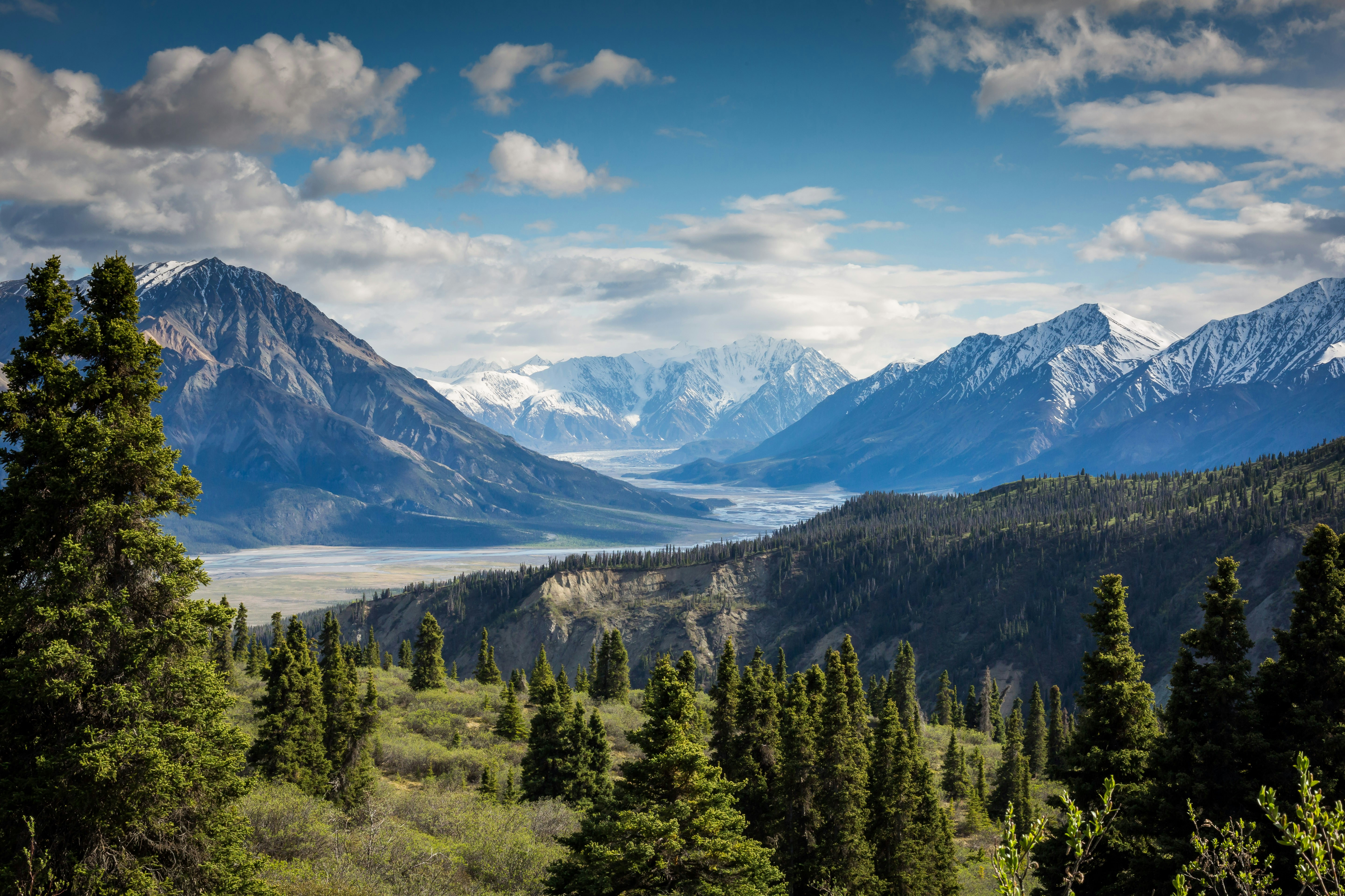
Mount Washington and the Presidential Range, a day trip from North Conway, New Hampshire
60 Trails Within 2 Hours

Best Hikes Near North Conway

60 hiking trails within about two hours of North Conway, from Diana's Baths and Arethusa Falls to Mount Washington and the Presidential Range

Closest: 1 miles
Drive Time: 1 min - 2 hrs
Difficulty: Moderate to Hard

North Conway Sits at the Foot of the White Mountains

North Conway is the Mount Washington Valley's base town: Chocorua and Passaconaway are close to the east, Pinkham and Crawford Notches lead north and west into the Presidential Range, and the Franconia and Pemigewasset country sits beyond. That makes it a practical base for a different kind of day every morning, from a short falls walk to a full 4,000-footer. This guide covers all 60 publish-ready trails in our database within about two hours, sorted by straight-line distance from real trailhead coordinates — not the town center — and compared side by side in a table so you can pick by length, gain and time rather than by whichever peak a listicle names first.

One caution that applies to every number on this page: drive times are straight-line estimates at 45 mph, and the notch roads rarely run straight. Treat the minutes as a floor. The western Maine high peaks and the Vermont mountains beyond Burke look close to North Conway on a map but are a much longer drive in practice, so they are deliberately left off this list.

  • ✓ Distance from North Conway (measured from the trailhead, not the summit)
  • ✓ Trail difficulty rating (moderate, hard, strenuous)
  • ✓ Elevation gain & round-trip distance
  • ✓ Interactive trail maps
⚡

5 Closest Trails to North Conway

Falls walks and the Mount Washington Valley peaks

📊

The 10 Closest Hikes Compared

Round-trip miles, elevation gain and time, from each trail's own record

Trail Miles from North Conway Est. drive Round trip Gain Time Summit Difficulty
Dianas Baths 1 mi ~1 min 0.4 mi 200 ft 0.2 hr 700 ft Moderate
Mount Chocorua 10 mi ~13 min 11.3 mi 3,064 ft 5.5 hr 3,490 ft Strenuous
Mount Isolation 13 mi ~17 min 14.6 mi 3,100 ft 7.2 hr 4,004 ft Hard
Mount Passaconaway 13 mi ~18 min 9.2 mi 2,717 ft 4.4 hr 4,043 ft Moderate
Mount Whiteface 13 mi ~18 min 8.6 mi 2,750 ft 4.7 hr 4,020 ft Hard
Mount Carrigain 13 mi ~18 min 6.4 mi 4,018 ft 4.1 hr 4,700 ft Hard
Arethusa Falls 14 mi ~18 min 1.6 mi 800 ft 0.7 hr 2,000 ft Moderate
Wildcat A 15 mi ~20 min 6.8 mi 3,321 ft 3.9 hr 4,422 ft Hard
Wildcat D 15 mi ~20 min 5.7 mi 2,318 ft 3 hr 4,062 ft Strenuous
Mount Washington 15 mi ~20 min 8.5 mi 4,187 ft 5 hr 6,288 ft Hard

Distance, gain and time are as recorded in each trail's own data and are estimates — confirm conditions and route length with the White Mountain National Forest or a current trail report before you go. Drive times are straight-line estimates and run low on mountain roads.

⛰️

Moderate Hiking Trails

Steady climbs to alpine views, mostly half-day outings

🥾

Harder Day Hikes

Steep, sustained climbs — start early and carry the essentials

🚗

Franconia, Moosilauke & Farther Day Trips

Western White Mountains climbs and farther day trips — allow extra drive time

📍

All 60 Trails Near North Conway

Sorted by distance from North Conway

Frequently Asked Questions

What is the closest hiking trail to North Conway?
The closest trails in this database are Dianas Baths (about 1 miles) and Mount Chocorua (about 10 miles). Drive times on this page are straight-line estimates; allow extra time for the notch roads, especially on summer and foliage weekends.
How long is the Mount Washington hike from North Conway?
In this database Mount Washington is listed at 8.5 miles round trip with about 4,187 feet of gain, a hard route to a 6,288-foot summit. Its weather is severe and can change within minutes at any time of year, so check the Mount Washington Observatory forecast and carry full layers before you go.
What is a good short hike near North Conway with a big view?
Mount Willard in Crawford Notch is listed here at 1.8 miles round trip with about 900 feet of gain. Arethusa Falls and Diana's Baths are also short outings in the table. Compare round-trip miles and gain before you choose.
Are the western Maine and Vermont mountains included?
No. Sugarloaf, the Bigelows, Saddleback, the Crockers and Tumbledown in western Maine, and Jay Peak, Pico and the Northeast Kingdom peaks in Vermont, look close to North Conway on a straight line, but the real roads run long, so they are left off this page rather than shown with a misleadingly short drive time.
What is the best easy hike near North Conway?
By their own ratings, the easiest trails on this page are Step Falls, Bradbury Mountain. Compare round-trip miles and gain in the table before you choose.

Essential Tips for Hiking Near North Conway

🚗 Getting There

  • • Crawford and Pinkham Notch trailheads are reached via US-302 and NH-16; the Kancamagus Highway (NH-112) runs west from Conway
  • • Many White Mountain National Forest trailheads charge for day-use parking — check the Forest Service for current fees and passes
  • • Trailhead lots fill early on summer and foliage weekends; arrive early or have a backup trail
  • • Download offline maps; cell service drops quickly in the mountains

🎒 What to Bring

  • • Sturdy boots — White Mountains granite is slick when wet and rocky underfoot
  • • Water and food for a longer day than you planned
  • • Layers and a wind shell — weather on the Presidentials changes fast and can be severe
  • • Headlamp and a first aid kit

📅 Best Times to Visit

  • • Summer (Jun-Aug): Warm and busy; the best window for the high, exposed routes
  • • Early fall (Sep): Cooler, fewer crowds, fall color — daylight shrinks fast
  • • Winter (Nov-Apr): Ice and deep snow on the high routes — only with proper skills and gear
  • • Spring (Apr-May): Mud season: snowmelt and soft trails, and some park roads and trailheads stay closed

⚠️ Safety First

  • • Check the forecast and trail conditions before leaving
  • • Tell someone your hiking plans
  • • Turn back if weather deteriorates
  • • Stay on marked trails; above treeline, stay on the trail to protect fragile alpine plants